Tuesday, June 25, 2013

Zion National Park, Las Vegas and at last to Portland

After our last breakfast at Amber Inn B&B, we decided that our final hike in Zion National Park would be to Weeping Rock, a short walk to a rock face where the water streams down, creating a hanging garden that is home to many flowers and small animals, including some rare species.  Our host Dina poo-poohed the hike, calling it insubstantial and recommending that we take the time to drive northward to the northern entrance to the park in Kolob Canyon, where she said the scenery was particularly dramatic, but we decided to persevere.  It was a nice short hike, and it was nice to be in Zion Valley one last time, although we may have again been paying the price for the relative paucity of rain because the flower display was rather less than I had expected.


We then headed back to the Amber Inn, picked up our bags and headed for Las Vegas to catch our flight to Portland.  We passed this impressive mesa outside Hurricane, Utah,


and the scenery continued to impress through as we passed through Arizona and into Nevada


including this view as we crossed the Virgin River in a car, rather than on foot as we had during our Narrows hike.


Finally we rolled into Las Vegas with just enough time to have some lunch and have a quick look at the Strip.  One of Nancy’s main regrets about this vacation was that we were spending our entire time in the parks and no time in either Salt Lake City or Las Vegas.  I rather regretted the lack of time in Salt Lake City, but even this short jaunt in Las Vegas was enough to lead Nancy to accept my own view of the place–a Disneyland of a city not worth a visit.  The traffic on Las Vegas Boulevard was so slow that we had no time to stop to look inside any of the glitzy hotel/casinos, which I was tempted to do for considerations of camp alone.  We did have a nice lunch at Lindo Michoacan.   I had the Carnitas a la Coca Cola, which seems odd but, like Steven Raichlen’s Coke Can Chicken, it just works. 

Finally we drove down Las Vegas Boulevard, miles past the airport to the Fox Rent-a-Car return location (Fox had offered by far the best deal for a one-way car rental).  I had not understood that its bus could not return us to the airport itself, but only to the main car rental terminal; as a result there were some nervous moments as we arrived at the airport with barely enough time to check bags and pass through security. 

When we got to Portland, we headed straight to dinner before driving down to Reed College to check in for reunions.  We ate at Mekong Bistro, which was just as good as when I reviewed it after my first visit, back in February.

Friday, June 21, 2013

Hiking the northern part of Zion National Park, and sightseeing around the Highway 9 tunnel

We woke up for the final full day of our vacation in the parks on southern Utah, and had another good breakfast at Amber Inn B&B  – largely the same as the previous day, but today it was French toast instead of silver dollar pancakes.  Our host Nida had suggested previously that we could get cooler hiking weather if we went a bit north, up Kolob Canyon, because the elevation was higher, and we decided to take her up on this advice, at least for our morning and midday hiking.  We drove west on highway 9 to Virgin Utah, then turned north up Kolob Terrace Road; as we got up higher we had some nice views.


We chose the relatively easy hike to Northgate Peaks, through fields that are normally flush with wildflowers in June.  On this hike we paid the price for the low level of rain that was such a benefit for our hike up the Narrows – there were many fewer flowers than there might otherwise have been.  But we enjoyed seeing the Sego Lilies,


the Utah Daisies and this mysterious, delicate purple flower than even a ranger at the information desk at the visitors center could not identify

and other flowers pictured below


Yellow prickly pear flowers

as well as many lovely little butterflies with checkerboard wings like this one

We also hiked past some incredibly strong-smelling sage plants; I confess I was very highly tempted to break the rule against taking plant parts out of the park to get some of these.

At the end of our hike, we got a view of the Northgate Peaks, including North Guardian Angel (with the deep arch/cave), with the Zion Valley in the distance


Then we drove further up the Kolob Terrace Road to Lava Point, where we looked out at a jumble of volcanic rock below as well as seeing Zion Valley in the distance


We headed back to town to relax in our hotel room, and had a nice snack at the Springdale Fruit Company on the western outskirts of town, before driving eastward along highway 9. 

We had these nice looks at the Great Arch and Pine Creek Canyon before entering the west side of the tunnel.


Just to the east of the tunnel was the trailhead for the easy Canyon Overlook trail; by now it was late afternoon so the heat (over 100 degrees) was abating.  We hiked past a wavy slot between the rocks below


to get these nice views of Pine Creek Canyon, the switchbacks of road leading up to the west side of the tunnel, and the southern end of Zion Valley

Pine Creek Canyon from Canyon Overlook, with Highway 9 switchbacks to west end of tunnel


We drove back to our hotel, and headed out the Spotted Dog Café for a nice dinner, although once again, the local trout was too dry, even though it was encursted with pepitas which should have helped hold in the juices.  I might have assumed the the local trout is just different, had I not had it done so well at Cafe Diablo in Torrey.  I just have to assume that the problem was overcooking.

We got back to Amber Inn B&B just in time for another show of the datura flowers opening; this time, in addition to the usual rush of big black bumblebees to get to the nectar of the flowers as they opened, we got to watch a hummingbird moth do the same.  Nida was as excited as on the our night of arrival.

Thursday, June 20, 2013

Hiking the Narrows in Zion National Park – a Vacation Highlight

We woke up planning to hike the Narrows this day, but first we had breakfast – a goodly number of thick silver dollar pancakes served with sliced strawberries and bananas, plus an available topping of peach preserves (homemade, I believe, from peaches grown in their own garden).   There were also humdrum sausages, orange juice and coffee or tea. Although breakfast is advertised as being available from 8:30 to 9:30, the host had no qualms when I asked that we be able to eat at 8 AM (I felt that asking for earlier might have been pushing it).  When I made the reservation, I told myself that I would be regularly taking advantage of the offer of a voucher to have breakfast at a restaurant in town if we were out hiking early to beat the heat, and could not have breakfast at the regular time; but each day we were there, we were just lazy and had breakfast at our B&B.  Tough to stay at a B&B when hiking is the major agenda.

I recall having had some qualms about staying at the Amber Inn B&B because of some mixed reviews on Yelp and Trip Advisor, but in the end I rather liked the place.   It is in a nice setting – I addition to the datura pictured in yesterday’s post, here are some of the views from the parking area garden this morning of the landscape on either side of Rockville, Utah.


Owner Nida, who seems to be the main proprietor of the husband/wife team, was knowledgeable about hiking in the area and had plenty of useful advice, not that I always took it, and her assistance with the Narrows hike was invaluable.  When she heard the night of our arrival that we were planning to hike the Narrows, she told us we could borrow her ski poles, and before we left in the morning, she pressed us to take them.  I have never been a big fan of hiking with walking sticks – I prefer to be able to use my hands for holding things to keep my balance, and hate to be encumbered with extra items to hold that I might just put down and carelessly leave.  Had they not been offered, I would not have thought to obtain any, even though I saw many people heading into the park holding wooden walking sticks with a hand-strap. Based on what I had read about the hike, my main concern had been to wear the right shoes for walking in the water (and by coincidence, some good closed-toed water shoes had been on sale at Costco a few weeks before we left).  But had we not had the ski poles, this hike would have been impossible — we could not have made it past the first few hundred yards of the Narrows.

Wednesday, June 19, 2013

From Bryce Canyon National Park to Rockville outside Zion

We arose early in Torrey so that we would have plenty of time to get to Bryce Canyon National Park, where I had been told about half a day was really enough to see the basics of the park; then the plan was to drive to our accommodations outside Zion National Park, perhaps with a brief visit to the highly recommended Kodachrome Basin State Park.

Our drive took us through the Dixie National Forest – we could see the green that must be produced over the course of the year by apparent rain clouds that we had seen at Capitol Reef the day before but which almost never, I gather, drop their load in the National Park.  Thereafter we were into the Grand Staircase Escalante National Monument.  I had hoped somehow to be able to spend sometime in this area, and as we drove through the exciting landscape I doubly regretted the schedule I had made for ourselves.


In the end, though, Bryce took much more than half a day.  On our arrival, we decided to walk the Navajo Loop and Queens Garden Loop trail.  Here is the “Wall Street” area seen from the rim before we began our hike

Overlooking "Wall Street" in Bryce National Park
and here some fantastic hoodoos seen along the trail


Tuesday, June 18, 2013

A Day in Capitol Reef National Park

We woke up early in our room at the Broken Spur Inn in Torrey, ready for a full day of hiking and other sightseeing in Capitol Reef National Park.  I give Broken Spur good marks – not luxurious by any means, but good value for the money.  We breakfasted there both days – Nancy had a breakfast steak this morning that was especially tasty.  The place has a covered pool that is larger than your standard inexpensive hotel pool, along with a hot tub, but we did not use either because we were too busy in the parks all day long.  And not only were there windows that open, but despite the heat of the day, in the afternoon and evening there was a cooling breeze that gave every reason to keep the windows open instead of relying on air conditioning.

On the way into Capitol Reef, we drove past Chimney Rock

Chimney Rock in Capitol Reef National Park


stopped for a quick look at the Goosenecks overlook, standing hundreds of feet over Sulphur Creek, then headed to the visitors center to pick up maps and get some advice.  The park features an early Mormon settlement called Fruita (FROO-TUH) that still maintains orchards containing hundreds of trees, and the guidebooks reported that the orchards are generally open for free “pick your own” sessions, with a small charge only for tourists who want to take their picked fruit out of the orchards.  Unfortunately, the ranger that we asked reported that a late freeze had destroyed the apricot crop and most of the cherries, so the orchards were closed.  And our top choice hike for this park, to the Hickman Bridge, featuring not only a large natural bridge but an archeological site featuring ruins of houses of the Fremont people, who lived in the area from about 700 to 1300 AD, was closed because of a rock slide near the beginning of the trail.  The Visitor Center did have one excellent feature — three stacks of poster boards on which descriptions, dried examples and photos were mounted for the various plants and flowers to be found in the park.  On our way back out of the park, we were able to identify several plants that we had seen in Capitol Reef, and even some that we had seen in the days before.

For our first hike, we chose to enter Cohab Canyon, requiring a quick climb up several switchbacks to reach the canyon entrance atop a bluff overlooking the Fruita valley

Entrance to Cohab Canyon atop bluff overlooking Fruita valley

Then we were into the Canyon, where we were free to walk into narrow slot canyons as far as we could go (generally, not very far)


Many of the walls were pocked with small holes, similar to what we had seen in the smooth walls in Arches

Small holes in walls along Cohab Canyon

Small holes in walls along Cohab Canyon

and we walked by free standing formations such as this one reminiscent of Balanced Rock

Rock formation in Cohab Canyon


Near the end of the walk, just before turning around, we climbed up a side of the canyon for this nice overview of Fruita

Overlooking Fruita from a spur on the Cohab Canyon trail

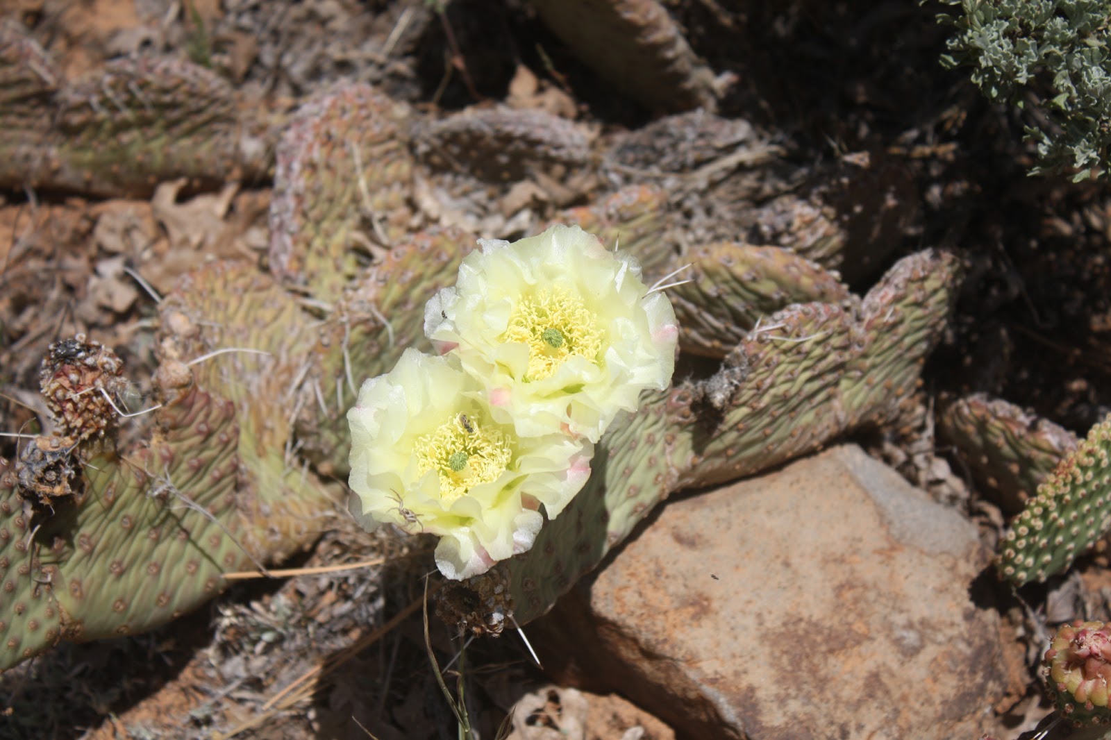
We saw lots of this bush, later identified for us at the Visitors Center as the round-leaved gooseberry

Roundleaved gooseberry in Cohab Canyon
Then, we retraced our steps out to Fruita and sat down for a nice picnic lunch of leftovers from the day before.

Next, we took the scenic drive southward, following the small road that was originally the main route through the Waterpocket Fold, enjoying the cliffs towering overhead


Near the southern end of the scenic drive, we parked and walked into the Capitol Gorge, which Mormon pioneers had followed in the mid-1800's.  The features of this Gorge including petroglyphs from the Fremont people


and the Pioneer Register, where Mormon pioneers had etched or painted their names on the rock in 1871


The otherwise excellent Lonely Planet guidebook cautioned us not to be “confused” by the names of USGS surveyors that had been etched into overhanging rock 40 years later “vandalism by today’s standards.”

Names of USGS surveyors carved into the rocks of Capitol Gorge in 1911


I couldn’t help being struck by the irony, calling 100 year old names vandalism while 140 year-old-names were a historic treasure than helped make the hike worthwhile.

Leaving Capitol Gorge, we headed back up the Scenic Drive to hike into the Grand Wash.  As we began our walk, we could see the Cassidy Arch high above, the former hiding place of outlaw Butch Cassidy

Cassidy Arch, high above the Grand Wash in Capitol Reef National Park


Along the walk, we found this boulder showing a ripple pattern in the sandstone, oft-discussed in Arches National Park although we had not noted any examples


Eventually, the walls of the canyon around us, maybe fifteen to twenty feet from one wall to the other while the walls went up several hundred feet -- delicious to be feel so small, and besides the shade provided a welcome respite from the sun that made our walk  blazing hot as well as dusty and dry


Grand Wash narrows down

Welcome shade while hiking the Grand Wash in Capitol Reef National Park
It was because of this closed-in feature of the Grand Wash that the guidebooks and signs at the beginning of the trail all warned that if there was any threat of rain in the area, the trail was to be avoided because of the danger of flash flooding.


After we left the Grand Wash and began to drive back for our last walk of the day, we saw these gathering clouds that looked very much like rain, and we were glad that we were out of the wash. 


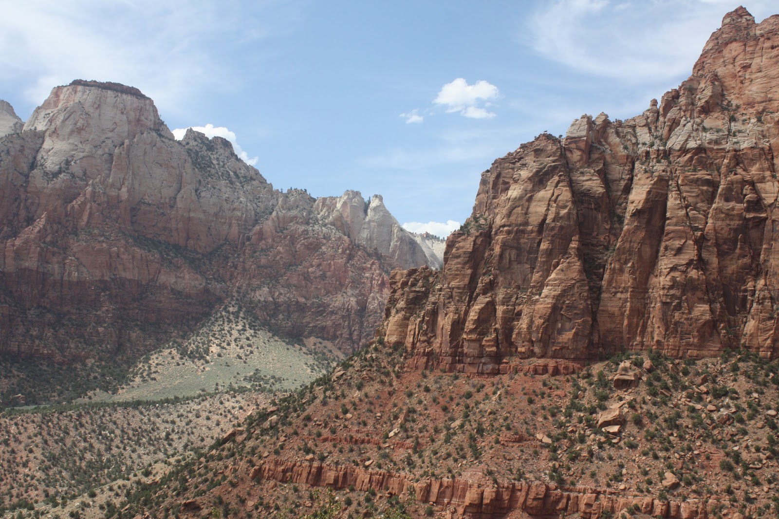
In the end, there was no rain – we saw clouds like this later in our trip, near Zion, and again we were sure that rain was coming (and again, we were mistaken)

Our final walk of the day was to see Fremont petroglyphs on a wall along the Fremont River.  These are the ones we saw from the wooden walkway


I’m not sure whether there were any others further down the walkway; there was a tree down blocking the walkway, so we could only get to part of it

This wall was across SR 24 from the petroglyphs


We drove back into Torrey and tried dinner at the Capitol Reef Café.  The place had been recommended for good cooking with an emphasis on local ingredients.  I was unimpressed – again I tried the trout, but unlike at Café Diablo the evening before, it was dry and overcooked.  Indeed, I tried trout again in Springdale while we were visiting, and Café Diablo was the only place that kept it tender.  Fish can much too easily be overcooked, and it has taken me years to learn to do it right; Capitol Reef Inn did not pass this test.

Monday, June 17, 2013

From Arches to Capitol Reef, by way of Goblin Valley

We woke up early for our walk through the Fiery Furnace, hoping to check out the Windows site within Arches National Park on the way.  But first we stopped for breakfast at the nearby Jailhouse Café, a place that serves ONLY breakfast, and so named because the building was the town’s original courthouse and jail rolled into one.  We were sorry we had not had breakfast there every day! the venue offered pleasant outdoor seating and a good menu – Nancy liked the whole wheat waffle and I was especially taken by the ginger pancakes with apple butter, which was so good and served in such plentiful quantity that I was having leftovers for lunch the following day.  The wait staff repeated a phrase which I have come to identify with Utah – instead of telling me that she would take my bill and credit card whenever I was ready (rather than my having to take my check up to the cash register), she told me, “I’ll be your cashier.”

Then we drove into Arches, stopping first at the Windows. 


Window in Arches National Park

But we had lingered so long over breakfast that we could not visit them all, not to speak of checking out the arches across the road, but rather hurried up to the Fiery Furnace so that we would not be late for our ranger-led tour.  And what a tour it was, easily one of the highlights of the entire vacation.  The Fiery Furnace is a medium sized maze of formations including arches, fins, spires and other features, and bears its name not because of high temperatures — in fact, the hike moves in and out of a cooling shade – but because, our ranger guide told us, some of the rocks in the formation glow a fiery red at sunset.  Entry requires either reservation for the ranger-led tour or acquisition of a special permit.  It was not clear to me how groups entering the maze would have found their way through some of the exceptionally narrow spaces